
Overview
Upper Gunnison River from Gunnison to Blue Mesa
A meandering freestone with undercut banks, an excellent trico hatch and a fall run of fish from the lake
I know, the lower section of the upper sounds confusing at first. The Upper Gunnison is everything above Blue Mesa Reservoir, all the way up to where the river begins at Almont. This page covers the lower part of that water, from the town of Gunnison downstream to just above Blue Mesa. It doesn't include the Black Canyon or the lower Gunnison below the reservoirs, which is very different fishing. Even within the Upper Gunnison, the river fishes differently up near Almont than it does down by the Cooper's Ranch access, so it helps to think of this stretch on its own terms.
Read the complete overview
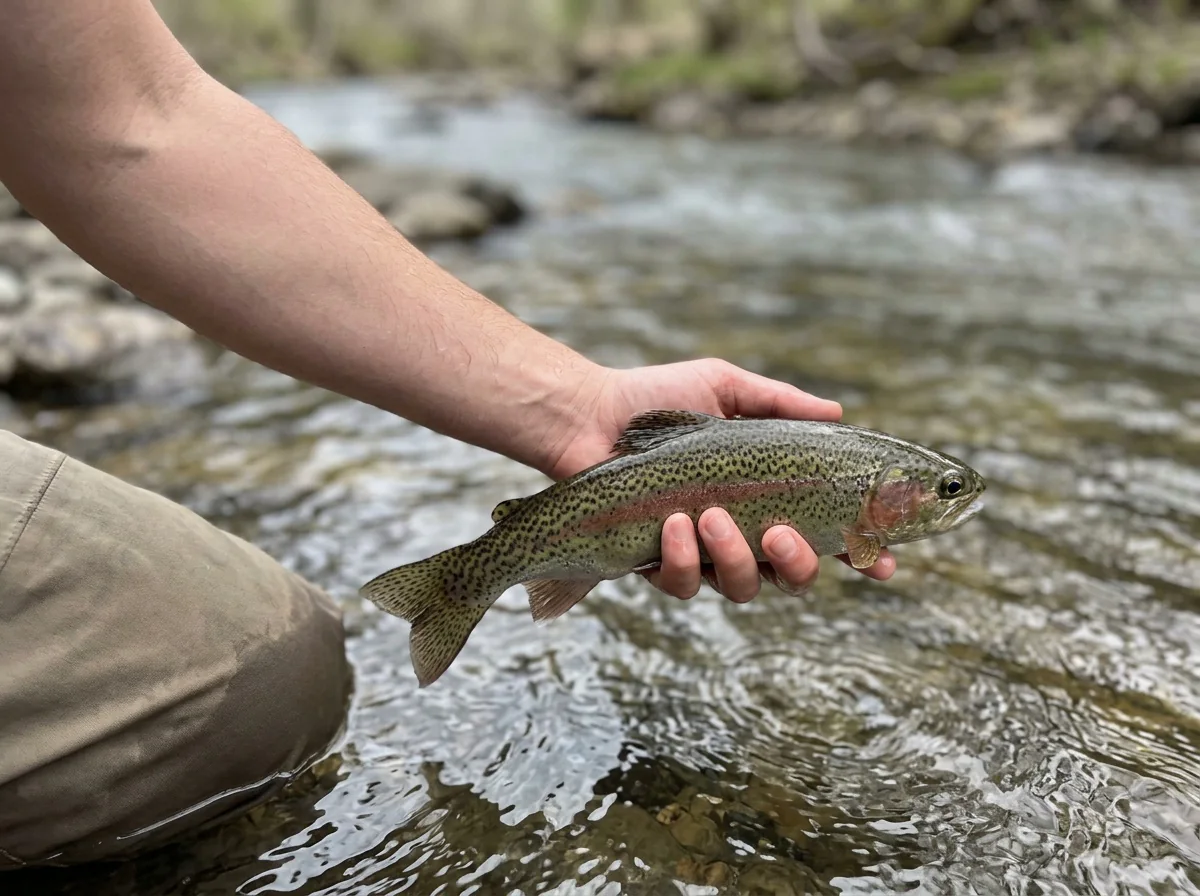
Here the Gunnison is a large, meandering freestone. It swings through bends with riffles, runs and deep outside banks, and those undercut banks are some of the best water on the river. Dry flies, dry-droppers and full nymph rigs all take fish outside the spawning periods. The river fishes year-round and has a good variety of hatches, including an excellent trico hatch in summer. Brown trout make up most of the population, with rainbows mixed in. Most fish run 12 to 18 inches, and there's always a chance at a bigger brown. Fish the likely riffles and seams, but don't overlook those undercut banks. When the timing is right, a hopper or a streamer worked tight to the bank can bring a good fish out.
Fall adds an extra opportunity. If you get low enough on the section toward Blue Mesa, you can find kokanee salmon and big browns running up from the lake. Timing is everything for that adventure, and you can't count on hitting it. Even if you miss the run, you'll have chances at 12- to 18-inch trout throughout the day. The river isn't overly difficult to fish here, which makes it a good place to bring a newer angler who can already manage a basic cast and drift. The main skill is matching what the fish are eating. If you do that, you should find trout. When fish are on spawning gravel, leave them alone and target the trout that are feeding.
One more thing to know before you go. I've run into a nasty hail and lightning storm on this stretch, and storms here come in quickly with little warning. When you see one building, get off the water and out of the open, and wait it out in proper shelter such as your vehicle. Enjoy!
A meandering freestone with riffles, runs, bends and undercut banks. Snowmelt and storms drive the flows, so clarity and holding water change through the year.
A large river. Break it into one reachable feeding lane at a time, and work the near side well before you consider crossing.
Not overly difficult when you're matching what's hatching. Trico mornings, PMD hatches and wary fish still reward clean drifts and the right size.
Established park-and-walk accesses off Highway 50 between Gunnison and Blue Mesa. Stay within signed public water.
Enough fish to keep a newer angler busy when the drift is right. Browns make up most of the population, with rainbows mixed in.
Rainbow Trout, Brown Trout, Kokanee Salmon Most trout run 12 to 18 inches, with a chance at a bigger brown, especially low on the section when fish run up from Blue Mesa in fall.
Fit
Is the Upper Gunnison from Gunnison to Blue Mesa Right for Your Trip?
Who will enjoy this water, and when another section might suit you better
- Brown- and rainbow-trout fishing on a large meandering freestone above Blue Mesa.
- Dry-fly opportunities, undercut banks and seasonal kokanee possibility.
- A strong summer trico hatch for anglers who enjoy fishing small dries to rising trout.
- Fishing in all four seasons, with midge and BWO days through the colder months.
- Newer anglers who can manage a dry-dropper and want a river that isn't overly difficult.
- Easy park-and-walk access, with leashed dogs welcome.
Related water
Other Nearby Options: Lower Taylor and Lower East River
Other sections in the basin that fish in a comparable way, and what changes when you go
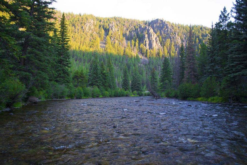 Year-round tailwater in the same basinTaylor River - Lower SectionA good choice when you want reservoir-influenced flows nearby and the same medium difficulty, with fishing in all four seasons.It's a medium-size tailwater rather than a large freestone, so you trade the bigger, meandering water here for a smaller river, and you give up the chance at fish running up from Blue Mesa.
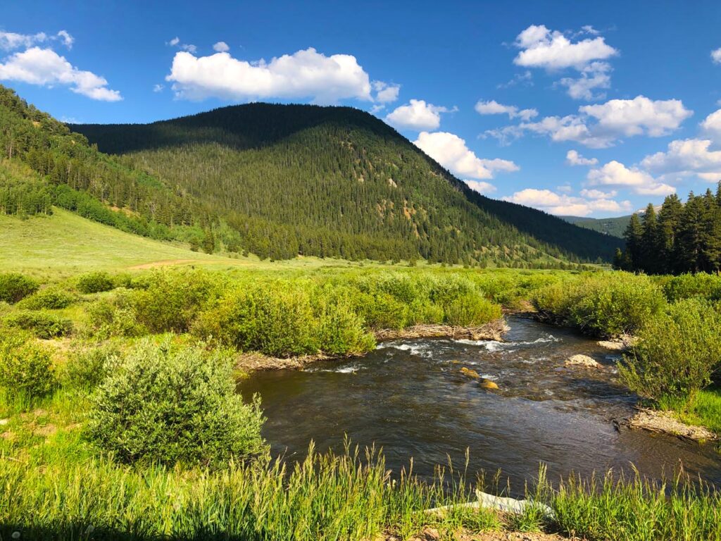
 Easier freestone nearbyEast River - Lower SectionA medium-size freestone rated easy, which makes it a friendly option for newer anglers from spring through fall.It isn't a winter option, and it's smaller water without this section's large-river runs or the fall run from the lake.
- The reservoir tailwater experience or guaranteed migratory fish on a schedule.
- The Black Canyon or the lower Gunnison below the reservoirs, which are different water.
- Wandering the banks freely, since private land means sticking to signed public access.
- Anglers who'd rather not change flies, because matching the hatch matters here.
Alternative rivers
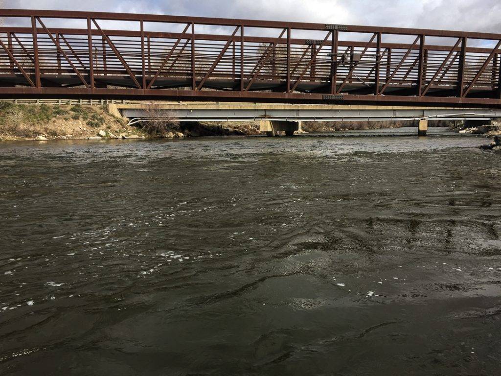
Spring Creek: An Easier Small-Freestone Day for Summer and Fall
A smaller, easier stream for when you'd like a change from big-river fishing
Find your next river
Pick the river before you pack the truck.
Some days call for a quiet creek. Others call for room to cast or a shot at a bigger fish. Find the water that fits the day you want.
- Compare 250+ Colorado rivers and sections by season, fish size, difficulty and access.
- See over 5,000 mapped access points and get directions.
- Save favorite waters and keep a backup plan handy.
Conditions
Current Flows and Weather from Gunnison to Blue Mesa
Check the flow trend and the forecast together, since snowmelt and fast summer storms change this river quickly
- Fishable flow ranges
- 250–1000 cfs
- Trend
- ↑ Above the previous seven-day mean
- Source
- USGS · 09114500
- Observed
- Wed, Nov 18 · 1:15 am MST
Follow the flow trend, then adjust your fishing depth and the water you focus on.
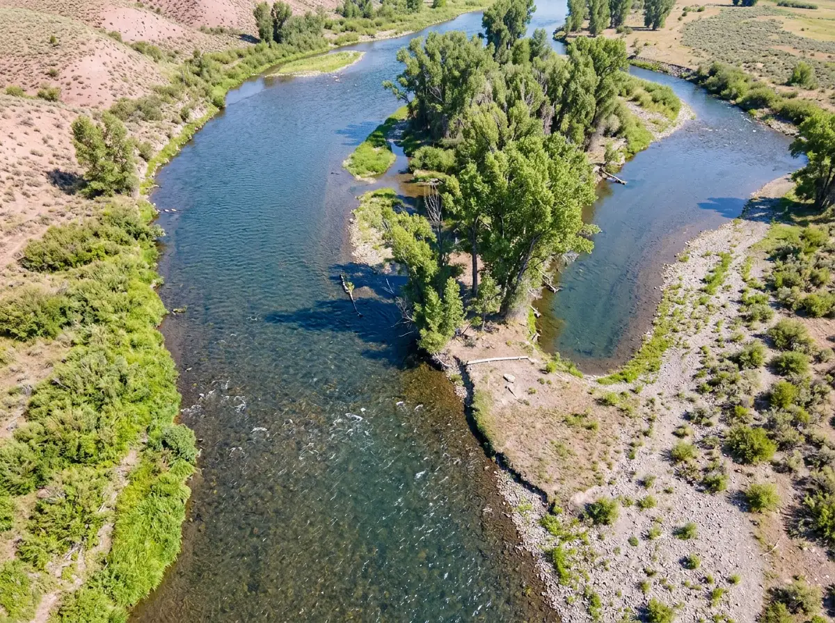
Readings are from the Gunnison River near Gunnison, above Blue Mesa Reservoir. Use them as context for the lower section of the Upper Gunnison.
Streamflow in CFS
View all flow readings
| Date | Streamflow (CFS) |
|---|---|
| 2026-11-12 | 315 |
| 2026-11-13 | 322 |
| 2026-11-14 | 331 |
| 2026-11-15 | 334 |
| 2026-11-16 | 318 |
| 2026-11-17 | 323 |
| 2026-11-18 | 332 |
View all flow readings
| Date | Streamflow (CFS) |
|---|---|
| 2026-10-20 | 226 |
| 2026-10-21 | 249 |
| 2026-10-22 | 382 |
| 2026-10-23 | 547 |
| 2026-10-24 | 503 |
| 2026-10-25 | 522 |
| 2026-10-26 | 447 |
| 2026-10-27 | 396 |
| 2026-10-28 | 365 |
| 2026-10-29 | 344 |
| 2026-10-30 | 330 |
| 2026-10-31 | 335 |
| 2026-11-01 | 353 |
| 2026-11-02 | 550 |
| 2026-11-03 | 468 |
| 2026-11-04 | 437 |
| 2026-11-05 | 421 |
| 2026-11-06 | 411 |
| 2026-11-07 | 389 |
| 2026-11-08 | 371 |
| 2026-11-09 | 360 |
| 2026-11-10 | 356 |
| 2026-11-11 | 327 |
| 2026-11-12 | 315 |
| 2026-11-13 | 322 |
| 2026-11-14 | 331 |
| 2026-11-15 | 334 |
| 2026-11-16 | 318 |
| 2026-11-17 | 323 |
| 2026-11-18 | 332 |
Past Weather and the 7-Day Forecast
Gunnison area: section point forecast
Station daily weather summary
- Precipitation
- 0 inLiquid equivalent
- Snowfall
- 0 in
- Avg. wind
- —
- Observed sky / weather
- —
- Pressure
- —
Observation sources
Temperature: GUNNISON 3SW. daily_station_report Source
Precipitation: GUNNISON 3SW. Reported daily precipitation (liquid equivalent) and snowfall, in inches. Source
Wind: GUNNISON RIVER NEAR GUNNISON 1WSW. Mean station observations, 8am–6pm local Source
Pressure: GUNNISON RIVER NEAR GUNNISON 1WSW. Mean observed sea-level pressure, 8am–6pm local Source
Observed sky / weather: GUNNISON RIVER NEAR GUNNISON 1WSW. Qualitative station reports across available hours of the listed local date; not measured cloud percentage. Source
Daily station values are shown where available. Other fields retain their observation sources. 52 hourly station reports.
Station daily weather summary
- Precipitation
- 0 inLiquid equivalent
- Snowfall
- 0 in
- Avg. wind
- —
- Observed sky / weather
- —
- Pressure
- —
Observation sources
Temperature: GUNNISON 3SW. daily_station_report Source
Precipitation: GUNNISON 3SW. Reported daily precipitation (liquid equivalent) and snowfall, in inches. Source
Wind: GUNNISON RIVER NEAR GUNNISON 1WSW. Mean station observations, 8am–6pm local Source
Pressure: GUNNISON RIVER NEAR GUNNISON 1WSW. Mean observed sea-level pressure, 8am–6pm local Source
Observed sky / weather: GUNNISON RIVER NEAR GUNNISON 1WSW. Qualitative station reports across available hours of the listed local date; not measured cloud percentage. Source
Daily station values are shown where available. Other fields retain their observation sources. 51 hourly station reports.
Observed detail unavailable
- Precipitation
- —Liquid equivalent
- Snowfall
- —
- Avg. wind
- —
- Observed sky / weather
- —
- Pressure
- —
Observation sources
Temperature: GUNNISON RIVER NEAR GUNNISON 1WSW. day_spanning_observations Source
Precipitation: GUNNISON RIVER NEAR GUNNISON 1WSW. Hourly reports overlap; a daily precipitation total is unavailable. Source
Wind: GUNNISON RIVER NEAR GUNNISON 1WSW. Mean station observations, 8am–6pm local Source
Pressure: GUNNISON RIVER NEAR GUNNISON 1WSW. Mean observed sea-level pressure, 8am–6pm local Source
Observed sky / weather: GUNNISON RIVER NEAR GUNNISON 1WSW. Qualitative station reports across available hours of the listed local date; not measured cloud percentage. Source
Nearby GUNNISON RIVER NEAR GUNNISON 1WSW station observations: . High and low summarize available temperature samples, not certified daily extremes. Station conditions can differ from the canyon. 49 hourly station reports.
Observed detail unavailable
- Precipitation
- —Liquid equivalent
- Snowfall
- —
- Avg. wind
- —
- Observed sky / weather
- —
- Pressure
- —
Observation sources
Temperature: GUNNISON RIVER NEAR GUNNISON 1WSW. day_spanning_observations Source
Precipitation: GUNNISON RIVER NEAR GUNNISON 1WSW. Hourly reports overlap; a daily precipitation total is unavailable. Source
Wind: GUNNISON RIVER NEAR GUNNISON 1WSW. Mean station observations, 8am–6pm local Source
Pressure: GUNNISON RIVER NEAR GUNNISON 1WSW. Mean observed sea-level pressure, 8am–6pm local Source
Observed sky / weather: GUNNISON RIVER NEAR GUNNISON 1WSW. Qualitative station reports across available hours of the listed local date; not measured cloud percentage. Source
Nearby GUNNISON RIVER NEAR GUNNISON 1WSW station observations: . High and low summarize available temperature samples, not certified daily extremes. Station conditions can differ from the canyon. 43 hourly station reports.
Observed detail unavailable
- Precipitation
- —Liquid equivalent
- Snowfall
- —
- Avg. wind
- —
- Observed sky / weather
- —
- Pressure
- —
Observation sources
Temperature: GUNNISON RIVER NEAR GUNNISON 1WSW. day_spanning_observations Source
Precipitation: GUNNISON RIVER NEAR GUNNISON 1WSW. Hourly reports overlap; a daily precipitation total is unavailable. Source
Wind: GUNNISON RIVER NEAR GUNNISON 1WSW. Mean station observations, 8am–6pm local Source
Pressure: GUNNISON RIVER NEAR GUNNISON 1WSW. Mean observed sea-level pressure, 8am–6pm local Source
Observed sky / weather: GUNNISON RIVER NEAR GUNNISON 1WSW. Qualitative station reports across available hours of the listed local date; not measured cloud percentage. Source
Nearby GUNNISON RIVER NEAR GUNNISON 1WSW station observations: . High and low summarize available temperature samples, not certified daily extremes. Station conditions can differ from the canyon. 54 hourly station reports.
Observed detail unavailable
- Precipitation
- —Liquid equivalent
- Snowfall
- —
- Avg. wind
- —
- Observed sky / weather
- —
- Pressure
- —
Observation sources
Temperature: GUNNISON RIVER NEAR GUNNISON 1WSW. day_spanning_observations Source
Precipitation: GUNNISON RIVER NEAR GUNNISON 1WSW. Hourly reports overlap; a daily precipitation total is unavailable. Source
Wind: GUNNISON RIVER NEAR GUNNISON 1WSW. Mean station observations, 8am–6pm local Source
Pressure: GUNNISON RIVER NEAR GUNNISON 1WSW. Mean observed sea-level pressure, 8am–6pm local Source
Observed sky / weather: GUNNISON RIVER NEAR GUNNISON 1WSW. Qualitative station reports across available hours of the listed local date; not measured cloud percentage. Source
Nearby GUNNISON RIVER NEAR GUNNISON 1WSW station observations: . High and low summarize available temperature samples, not certified daily extremes. Station conditions can differ from the canyon. 51 hourly station reports.
Observed detail unavailable
- Precipitation
- —Liquid equivalent
- Snowfall
- —
- Avg. wind
- —
- Observed sky / weather
- —
- Pressure
- —
Observation sources
Temperature: GUNNISON RIVER NEAR GUNNISON 1WSW. day_spanning_observations Source
Precipitation: GUNNISON RIVER NEAR GUNNISON 1WSW. Hourly reports overlap; a daily precipitation total is unavailable. Source
Wind: GUNNISON RIVER NEAR GUNNISON 1WSW. Mean station observations, 8am–6pm local Source
Pressure: GUNNISON RIVER NEAR GUNNISON 1WSW. Mean observed sea-level pressure, 8am–6pm local Source
Observed sky / weather: GUNNISON RIVER NEAR GUNNISON 1WSW. Qualitative station reports across available hours of the listed local date; not measured cloud percentage. Source
Nearby GUNNISON RIVER NEAR GUNNISON 1WSW station observations: . High and low summarize available temperature samples, not certified daily extremes. Station conditions can differ from the canyon. 57 hourly station reports.
Sunny
Precipitation chance0%Mostly Clear
Precipitation chance0%- Avg. wind
- 3 mph WSW
- Cloud cover
- 4%
- Pressure
- 30.18 inHg
Partly Sunny
Precipitation chance2%Chance Snow Showers
Snow chance40%- Avg. wind
- 4 mph SE
- Cloud cover
- 59%
- Pressure
- 30.09 inHg
Chance Snow Showers
Snow chance40%Snow Showers Likely
Snow chance65%- Avg. wind
- 16 mph W
- Cloud cover
- 54%
- Pressure
- 29.79 inHg
Slight Chance Snow Showers then Mostly Sunny
Snow chance23%Mostly Clear
Precipitation chance1%- Avg. wind
- 7 mph W
- Cloud cover
- 28%
- Pressure
- 30.11 inHg
Sunny
Precipitation chance0%Partly Cloudy
Precipitation chance6%- Avg. wind
- 2 mph SSE
- Cloud cover
- 22%
- Pressure
- 30.32 inHg
Chance Snow Showers
Snow chance42%Chance Snow Showers
Snow chance42%- Avg. wind
- 3 mph WSW
- Cloud cover
- 53%
- Pressure
- 30.15 inHg
Mostly Sunny
Precipitation chance10%- Avg. wind
- 2 mph WNW
- Cloud cover
- 41%
- Pressure
- 30.37 inHg
Weather sources
National Weather Service · GUNNISON RIVER NEAR GUNNISON 1WSW. Wind and cloud averages use 8am–6pm local time. Forecast pressure: MET Norway, averaged daytime sea-level pressure in inches of mercury (CC BY 4.0). Past station reports do not include forecast rain chances or exact cloud percentages; a dash means unavailable.
Unlock the full guide
Know where to fish and what to tie on.
Put the forecast to work. Compare streamflow history on gauged waters, then open the full fishing plan for the section you pick.
- See where to start and how to fish each season.
- Match local hatches and fill your box with the recommended flies.
- Open the access map and get directions before you leave.
Gallery
Scenes from the Upper Gunnison Below Town
A look at the bends, banks and open valley you'll be fishing
River Explorer Pro
Make this your next fishing trip.
Unlock River Explorer Pro and make your next fishing trip your best adventure yet.
- Find where to get on the water with interactive access maps and directions.
- Plan around recent weather and streamflows where gauges are available.
- Pack the right flies with seasonal tactics, hatch charts and pattern recommendations.
- Compare 250+ Colorado rivers and sections and save a backup stretch.