
Overview
Fishing Anthracite Creek's Main Section
A quiet hike-in creek for anglers who've already fished Colorado's big names
Anthracite Creek is a great little creek that doesn't get much traffic or publicity. To get there, you pass dozens of excellent fishing rivers, and most anglers don't have the patience to keep going. The rivers along the way are likely better fishing, but Anthracite gives you some solitude and probably a creek you haven't fished before. If you've fished most of Colorado's major rivers and want something new, it's a great adventure. You'll also still have other good water to fall back on if this one doesn't produce.
Read the complete overview
This guide covers the main valley section, which you reach on foot along the main valley corridor. It's small freestone pocket water. The fishing is easy once the creek settles, the trout run small, and there are enough of them to keep you busy if you keep moving. Brook, brown, cutthroat and rainbow trout all live in Anthracite Creek, but which ones you meet depends on where along the creek you're fishing. The forks above the valley are separate waters. The North Fork has its own special regulation, so treat it as a different outing.
The creek fishes best in late summer into fall, when flows drop and become more stable. That's when it turns into great dry-dropper water. You can fish all dries and do fine, but a dropper really helps pick up fish as you work through the pockets. Don't spend too long in one place. Cover lots of water, enjoy the scenery and expect to have long stretches of creek to yourself most days. Start with a short rig to search new pockets. When fish are rising cleanly, switch to a single dry and make each first drift count.
Snowmelt drives this freestone creek. It runs high early in summer and settles into clear, stable pocket water later in the season.
Small water with short casts, compact pockets and runs you can usually cover from one bank or with a careful step in.
The fishing is straightforward once flows drop. A quiet approach and a clean first drift matter more than fly choice.
It's a hike-in fishery using the signed Dark Canyon trail approach. Direct access in the lower valley is limited by private land.
There are enough trout to keep a dry-dropper busy if you keep moving, but not every pocket will hold a fish.
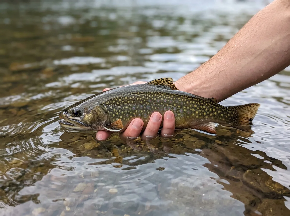
Brook Trout, Brown Trout, Cutthroat Trout, Rainbow Trout Expect mostly small trout. The draw is solitude, scenery and a mix of brook, brown, cutthroat and rainbow trout.
Fit
Is Anthracite Creek Right for Your Trip?
Who will enjoy the hike and the small-fish pocket water, and who should pick another creek
- Quiet late-summer pocket water and a dry-dropper outing worth the hike.
- You've fished most of Colorado's major rivers and want a new creek with real solitude.
- You like covering lots of water with short casts for small trout of several species.
- You want a summer or fall trip where your dog can come along where allowed and posted. In the Raggeds Wilderness, keep it on leash or under direct verbal control.
Related water
Similar Freestone Creeks in the Same Drainage
Other summer and fall waters worth comparing before you plan the drive
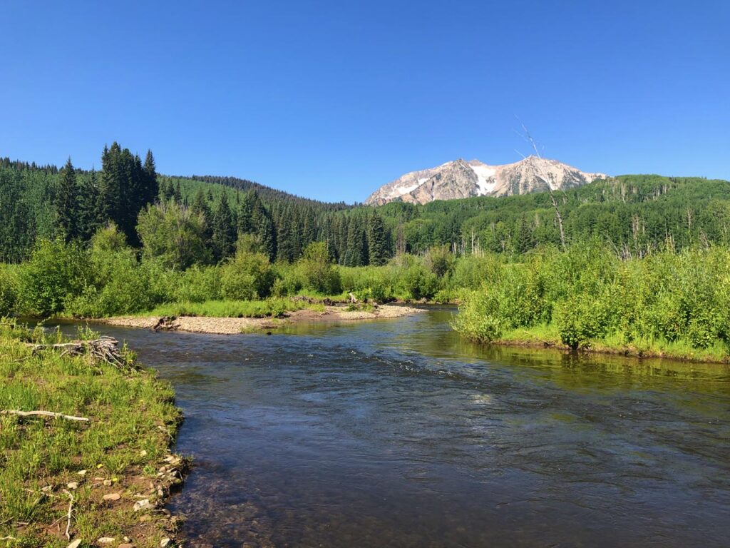 Bigger freestone in the same drainageRuby Anthracite Creek - Main SectionIf you like Anthracite's summer and fall freestone fishing but want a bit more water and room to cast, this medium-size creek fishes the same two seasons.It's rated a step harder than Anthracite's easy pocket water, so plan on fishing that asks more of your wading and presentation.
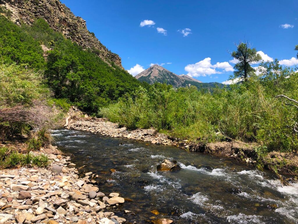 Another small summer and fall freestoneSmith Fork of the Gunnison River - Smith ForkIt's the same scale of water with the same summer-into-fall window, so your short dry-dropper setup and pocket-water habits carry right over.It's rated medium difficulty instead of easy, so expect water that rewards a bit more skill and patience.
- You want an easy roadside outing, or a spring trip while the creek is still running high with snowmelt.
- You're after big fish. Trout here run small.
- You're planning a winter trip, when snow and the hike in rule it out.
Alternative rivers
Another Option in the Gunnison Drainage
Larger water to fish when Anthracite is out of season or still running high

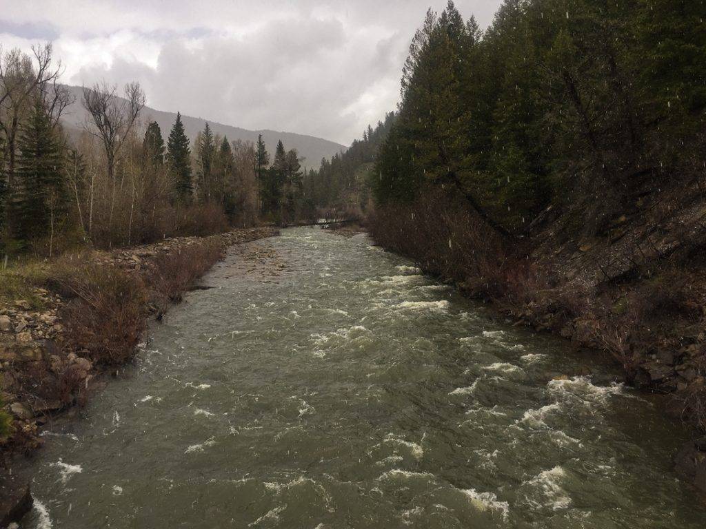
Find your next river
Pick the river before you pack the truck.
Some days call for a quiet creek. Others call for room to cast or a shot at a bigger fish. Find the water that fits the day you want.
- Compare 250+ Colorado rivers and sections by season, fish size, difficulty and access.
- See over 5,000 mapped access points and get directions.
- Save favorite waters and keep a backup plan handy.
Conditions
Current Flows and Weather for Anthracite Creek
The gauge above the mouth near Somerset shows the downstream trend on the same creek, not the hike-in. Check the forecast, and judge current and clarity from safe footing at the water in front of you
- Trend
- ↓ Below the previous seven-day mean
- Source
- USGS · 09132095
- Observed
- Sun, Nov 22 · 1:30 am MST
Follow the flow trend, then adjust your fishing depth and the water you focus on.
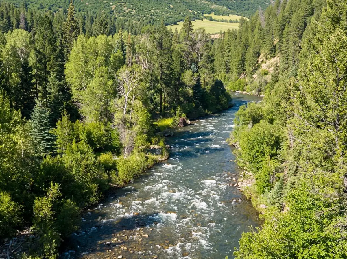
USGS measures Anthracite Creek downstream, above its mouth. Check the water at the hike-in reach separately.
Streamflow in CFS
View all flow readings
| Date | Streamflow (CFS) |
|---|---|
| 2026-11-16 | 102 |
| 2026-11-17 | 99.3 |
| 2026-11-18 | 102 |
| 2026-11-19 | 89.5 |
| 2026-11-20 | 92.7 |
| 2026-11-21 | 93.2 |
| 2026-11-22 | 84.3 |
View all flow readings
| Date | Streamflow (CFS) |
|---|---|
| 2026-10-24 | 253 |
| 2026-10-25 | 229 |
| 2026-10-26 | 199 |
| 2026-10-27 | 174 |
| 2026-10-28 | 152 |
| 2026-10-29 | 136 |
| 2026-10-30 | 122 |
| 2026-10-31 | 118 |
| 2026-11-01 | 167 |
| 2026-11-02 | 323 |
| 2026-11-03 | 229 |
| 2026-11-04 | 200 |
| 2026-11-05 | 192 |
| 2026-11-06 | 175 |
| 2026-11-07 | 161 |
| 2026-11-08 | 149 |
| 2026-11-09 | 139 |
| 2026-11-10 | 132 |
| 2026-11-11 | 125 |
| 2026-11-12 | 119 |
| 2026-11-13 | 115 |
| 2026-11-14 | 113 |
| 2026-11-15 | 110 |
| 2026-11-16 | 102 |
| 2026-11-17 | 99.3 |
| 2026-11-18 | 102 |
| 2026-11-19 | 89.5 |
| 2026-11-20 | 92.7 |
| 2026-11-21 | 93.2 |
| 2026-11-22 | 84.3 |
Past Weather and the 7-Day Forecast
Anthracite Creek hike-in corridor: point forecast
Observed detail unavailable
- Precipitation
- —Liquid equivalent
- Snowfall
- —
- Avg. wind
- 3 mph W
- Observed sky / weather
- —
- Pressure
- —
Observation sources
Temperature: JAY. incomplete Source
Precipitation: JAY. Hourly reports overlap; a daily precipitation total is unavailable. Source
Wind: JAY. Mean station observations, 8am–6pm local Source
Pressure: JAY. Mean observed sea-level pressure, 8am–6pm local Source
Observed sky / weather: JAY. Qualitative station reports across available hours of the listed local date; not measured cloud percentage. Source
Nearby JAY station observations: . High and low summarize available temperature samples, not certified daily extremes. Station conditions can differ from the canyon. 16 hourly station reports.
Observed detail unavailable
- Precipitation
- —Liquid equivalent
- Snowfall
- —
- Avg. wind
- 5 mph WSW
- Observed sky / weather
- —
- Pressure
- —
Observation sources
Temperature: JAY. day_spanning_observations Source
Precipitation: JAY. Hourly reports overlap; a daily precipitation total is unavailable. Source
Wind: JAY. Mean station observations, 8am–6pm local Source
Pressure: JAY. Mean observed sea-level pressure, 8am–6pm local Source
Observed sky / weather: JAY. Qualitative station reports across available hours of the listed local date; not measured cloud percentage. Source
Nearby JAY station observations: . High and low summarize available temperature samples, not certified daily extremes. Station conditions can differ from the canyon. 22 hourly station reports.
Observed detail unavailable
- Precipitation
- —Liquid equivalent
- Snowfall
- —
- Avg. wind
- 7 mph W
- Observed sky / weather
- —
- Pressure
- —
Observation sources
Temperature: JAY. day_spanning_observations Source
Precipitation: JAY. Hourly reports overlap; a daily precipitation total is unavailable. Source
Wind: JAY. Mean station observations, 8am–6pm local Source
Pressure: JAY. Mean observed sea-level pressure, 8am–6pm local Source
Observed sky / weather: JAY. Qualitative station reports across available hours of the listed local date; not measured cloud percentage. Source
Nearby JAY station observations: . High and low summarize available temperature samples, not certified daily extremes. Station conditions can differ from the canyon. 20 hourly station reports.
Observed detail unavailable
- Precipitation
- —Liquid equivalent
- Snowfall
- —
- Avg. wind
- 2 mph SE
- Observed sky / weather
- —
- Pressure
- —
Observation sources
Temperature: JAY. day_spanning_observations Source
Precipitation: JAY. Hourly reports overlap; a daily precipitation total is unavailable. Source
Wind: JAY. Mean station observations, 8am–6pm local Source
Pressure: JAY. Mean observed sea-level pressure, 8am–6pm local Source
Observed sky / weather: JAY. Qualitative station reports across available hours of the listed local date; not measured cloud percentage. Source
Nearby JAY station observations: . High and low summarize available temperature samples, not certified daily extremes. Station conditions can differ from the canyon. 23 hourly station reports.
Observed detail unavailable
- Precipitation
- —Liquid equivalent
- Snowfall
- —
- Avg. wind
- 2 mph NW
- Observed sky / weather
- —
- Pressure
- —
Observation sources
Temperature: JAY. incomplete Source
Precipitation: JAY. Hourly reports overlap; a daily precipitation total is unavailable. Source
Wind: JAY. Mean station observations, 8am–6pm local Source
Pressure: JAY. Mean observed sea-level pressure, 8am–6pm local Source
Observed sky / weather: JAY. Qualitative station reports across available hours of the listed local date; not measured cloud percentage. Source
Nearby JAY station observations: . High and low summarize available temperature samples, not certified daily extremes. Station conditions can differ from the canyon. 20 hourly station reports.
Windy
- Precipitation
- —Liquid equivalent
- Snowfall
- —
- Avg. wind
- 14 mph W
- Observed sky / weather
- Windy
- Pressure
- —
Observation sources
Temperature: JAY. incomplete Source
Precipitation: JAY. Hourly reports overlap; a daily precipitation total is unavailable. Source
Wind: JAY. Mean station observations, 8am–6pm local Source
Pressure: JAY. Mean observed sea-level pressure, 8am–6pm local Source
Observed sky / weather: JAY. Qualitative station reports across available hours of the listed local date; not measured cloud percentage. Source
Nearby JAY station observations: Windy. High and low summarize available temperature samples, not certified daily extremes. Station conditions can differ from the canyon. 17 hourly station reports.
Observed detail unavailable
- Precipitation
- —Liquid equivalent
- Snowfall
- —
- Avg. wind
- 6 mph SW
- Observed sky / weather
- —
- Pressure
- —
Observation sources
Temperature: JAY. day_spanning_observations Source
Precipitation: JAY. Hourly reports overlap; a daily precipitation total is unavailable. Source
Wind: JAY. Mean station observations, 8am–6pm local Source
Pressure: JAY. Mean observed sea-level pressure, 8am–6pm local Source
Observed sky / weather: JAY. Qualitative station reports across available hours of the listed local date; not measured cloud percentage. Source
Nearby JAY station observations: . High and low summarize available temperature samples, not certified daily extremes. Station conditions can differ from the canyon. 22 hourly station reports.
Partly Sunny
Precipitation chance0%Mostly Cloudy
Precipitation chance5%- Avg. wind
- 3 mph SE
- Cloud cover
- 68%
- Pressure
- 30.11 inHg
Chance Snow Showers
Snow chance46%Chance Snow Showers then Mostly Cloudy
Snow chance46%- Avg. wind
- 3 mph WSW
- Cloud cover
- 85%
- Pressure
- 30.15 inHg
Sunny
Precipitation chance0%Mostly Clear
Precipitation chance2%- Avg. wind
- 3 mph SW
- Cloud cover
- 17%
- Pressure
- 30.36 inHg
Mostly Sunny
Precipitation chance7%Mostly Cloudy
Precipitation chance7%- Avg. wind
- 2 mph SSW
- Cloud cover
- 39%
- Pressure
- 30.16 inHg
Mostly Sunny then Slight Chance Snow Showers
Snow chance18%Slight Chance Snow Showers
Snow chance18%- Avg. wind
- 3 mph NW
- Cloud cover
- 42%
- Pressure
- 30.28 inHg
Mostly Sunny
Precipitation chance14%Partly Cloudy then Slight Chance Snow Showers
Snow chance15%- Avg. wind
- 3 mph WNW
- Cloud cover
- 39%
- Pressure
- 30.26 inHg
Slight Chance Snow Showers
Snow chance21%- Avg. wind
- 3 mph SW
- Cloud cover
- 50%
- Pressure
- 29.97 inHg
Weather sources
National Weather Service · JAY. Wind and cloud averages use 8am–6pm local time. Forecast pressure: MET Norway, averaged daytime sea-level pressure in inches of mercury (CC BY 4.0). Past station reports do not include forecast rain chances or exact cloud percentages; a dash means unavailable.
Unlock the full guide
Know where to fish and what to tie on.
Put the forecast to work. Compare streamflow history on gauged waters, then open the full fishing plan for the section you pick.
- See where to start and how to fish each season.
- Match local hatches and fill your box with the recommended flies.
- Open the access map and get directions before you leave.
Gallery
Anthracite Creek Photos
A look at the valley scenery and the kind of small water you'll be fishing
River Explorer Pro
Make this your next fishing trip.
Unlock River Explorer Pro and make your next fishing trip your best adventure yet.
- Find where to get on the water with interactive access maps and directions.
- Plan around recent weather and streamflows where gauges are available.
- Pack the right flies with seasonal tactics, hatch charts and pattern recommendations.
- Compare 250+ Colorado rivers and sections and save a backup stretch.