
Overview
Fishing the Lower Section of Four Mile Creek
A small brown trout creek near Boulder that's worth a short outing when there's enough depth and a manageable current
Four Mile Creek is part of the Boulder Creek watershed, and it's a small, often overlooked creek. The lower section follows Fourmile Canyon Drive down toward its meeting with Boulder Creek in the canyon near Orodell, and it holds a healthy population of brown trout. The catch is water. This is a freestone creek that struggles with consistent flows, so how it fishes on a given day depends a lot on how much water is coming down.
Read the complete overview
When there's usable depth and the current is manageable, the browns in the lower reaches are eager. The creek makes a fun getaway that feels different from Boulder Creek, especially when the main canyon is crowded on weekends. As the flows get low, the same fish turn spooky and you need to bring your "A" game: a careful approach, short accurate casts and a drift that doesn't drag. The trout here run small and the numbers are moderate. The fishing rates as medium difficulty, mostly because of that low-water wariness.
Use Fourmile Canyon Drive for orientation. Homes and private parcels line the banks of the lower corridor. Once you've confirmed signed public parking and a lawful bank route, the best plan is a short outing during spring and summer, when there's usable depth with manageable current to give the browns some cover. Think of it as a quick stop near Boulder with dries and nymphs rather than a long day of wading.
A freestone creek driven by snowmelt and rain, so flows rise and fall and depth decides how well it fishes.
Small pocket water with short casts, quick drifts and only a few good holding spots in each stretch.
Browns can be eager when the flows are up, but low, clear water makes them spooky and calls for a careful approach.
Homes and private parcels limit legal water, so verify signed public parking and a lawful bank route before you fish.
A healthy brown trout population, concentrated in the deeper pockets, especially as the creek drops.
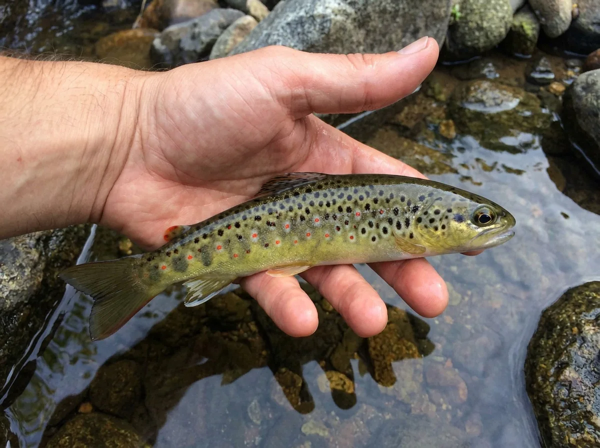
Brown Trout The browns here run small, which suits light tackle and a quick outing.
Fit
Is Lower Four Mile Right for Your Day?
Who'll enjoy this pocket water and who'll be happier on bigger water nearby
- A short, small-water brown trout stop near Boulder when the creek has depth.
- A change of pace from Boulder Creek when the main canyon is crowded on weekends.
- Practicing short, accurate casts and dry-dropper fishing in pocket water.
- Spring and summer outings with a leashed dog, where posted rules allow it and you've confirmed legal access.
- A long public wade or a larger reliable fishing reach.
- Days when the creek is thin and you're hoping for easy fish.
- Trips aimed at bigger trout.
- Fall and winter plans, when nearby water is the better choice.
Alternative rivers
Nearby Water When Four Mile Is Low
Boulder Creek options for when this creek thins out or the season has turned
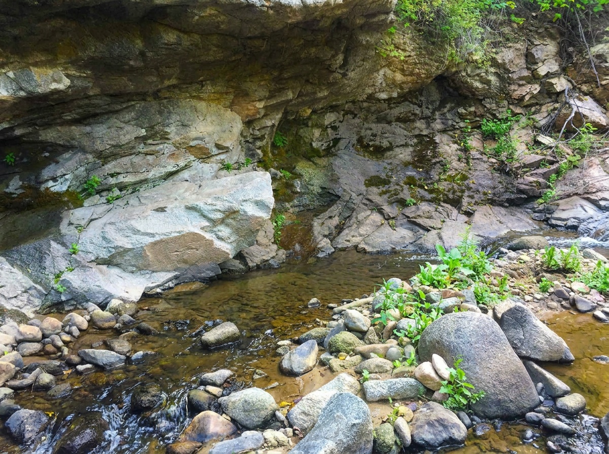
 Easier canyon water that fishes into fallUpper Boulder Creek - Canyon SectionIt's another small freestone close by, rated easy, and it's fishable in spring, summer and fall. That makes it a natural choice when Four Mile has thinned out or the season has turned.Boulder Creek draws more anglers, especially on weekends, so you give up some of the quiet that makes Four Mile appealing.
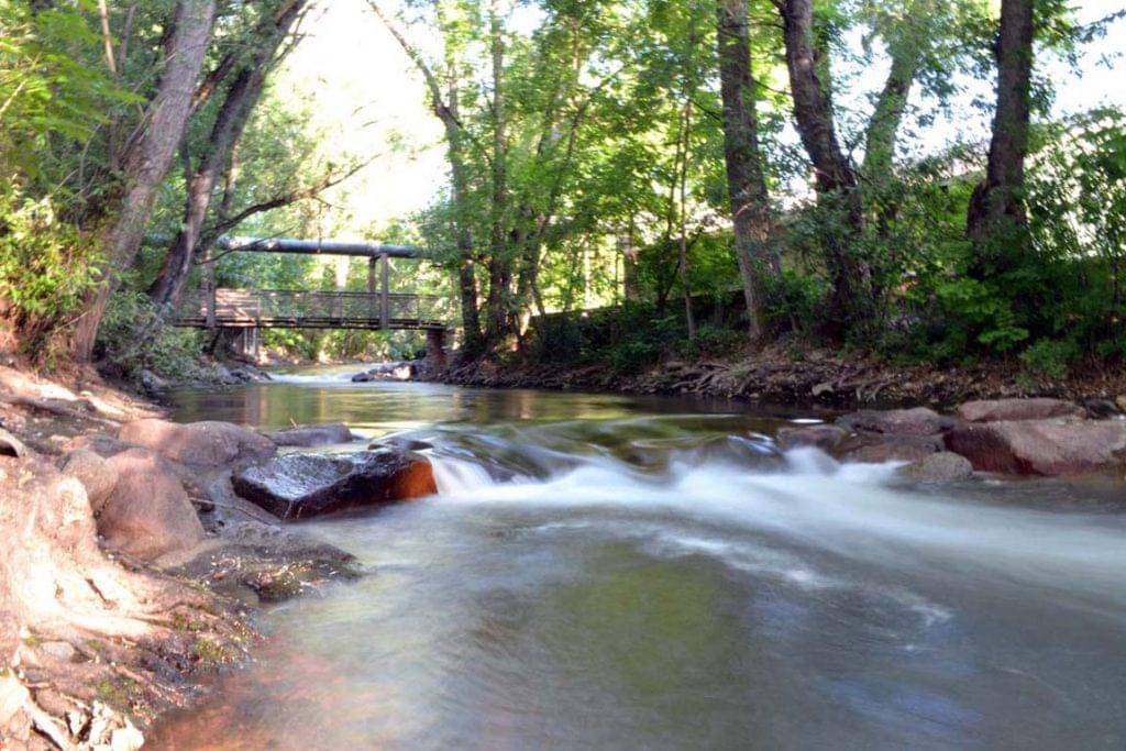 Year-round water right in townLower Boulder Creek - Town SectionIt's fishable in all four seasons and rated easy, so it's the practical pick for winter or a quick session when Four Mile is too low.It's town water, so expect company and a more urban setting than a canyon creek.
Find your next river
Pick the river before you pack the truck.
Some days call for a quiet creek. Others call for room to cast or a shot at a bigger fish. Find the water that fits the day you want.
- Compare 250+ Colorado rivers and sections by season, fish size, difficulty and access.
- See over 5,000 mapped access points and get directions.
- Save favorite waters and keep a backup plan handy.
Conditions
Fourmile Creek Flows and Weather at Orodell
Check flows and the forecast before you drive. Use a fresh Orodell reading when one is posted. Otherwise go by recent weather and check depth and current from a safe, lawful bank, since depth decides how this water fishes
Current streamflow is unavailable
Check the latest reading at the gauge before you head out.
Open the official gauge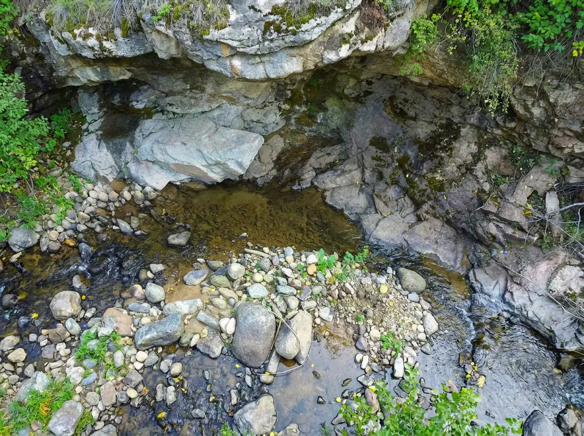
USGS 06727500 is at Orodell on Fourmile Creek. Use only exact dated or current readings, when available.
Past Weather and the 7-Day Forecast
Lower Fourmile Creek near Orodell: section point forecast
Clear
- Precipitation
- —Liquid equivalent
- Snowfall
- —
- Avg. wind
- 1 mph WSW
- Observed sky / weather
- Clear
- Pressure
- —
Observation sources
Temperature: Boulder Municipal Airport. day_spanning_observations Source
Precipitation: Boulder Municipal Airport. Hourly reports overlap; a daily precipitation total is unavailable. Source
Wind: Boulder Municipal Airport. Mean station observations, 8am–6pm local Source
Pressure: Boulder Municipal Airport. Mean observed sea-level pressure, 8am–6pm local Source
Observed sky / weather: Boulder Municipal Airport. Qualitative station reports across available hours of the listed local date; not measured cloud percentage. Source
Nearby Boulder Municipal Airport station observations: Clear. High and low summarize available temperature samples, not certified daily extremes. Station conditions can differ from the canyon. 52 hourly station reports.
Clear
- Precipitation
- —Liquid equivalent
- Snowfall
- —
- Avg. wind
- 3 mph N
- Observed sky / weather
- Clear
- Pressure
- —
Observation sources
Temperature: Boulder Municipal Airport. day_spanning_observations Source
Precipitation: Boulder Municipal Airport. Hourly reports overlap; a daily precipitation total is unavailable. Source
Wind: Boulder Municipal Airport. Mean station observations, 8am–6pm local Source
Pressure: Boulder Municipal Airport. Mean observed sea-level pressure, 8am–6pm local Source
Observed sky / weather: Boulder Municipal Airport. Qualitative station reports across available hours of the listed local date; not measured cloud percentage. Source
Nearby Boulder Municipal Airport station observations: Clear. High and low summarize available temperature samples, not certified daily extremes. Station conditions can differ from the canyon. 57 hourly station reports.
Clear
- Precipitation
- —Liquid equivalent
- Snowfall
- —
- Avg. wind
- 3 mph W
- Observed sky / weather
- Clear
- Pressure
- —
Observation sources
Temperature: Boulder Municipal Airport. day_spanning_observations Source
Precipitation: Boulder Municipal Airport. Hourly reports overlap; a daily precipitation total is unavailable. Source
Wind: Boulder Municipal Airport. Mean station observations, 8am–6pm local Source
Pressure: Boulder Municipal Airport. Mean observed sea-level pressure, 8am–6pm local Source
Observed sky / weather: Boulder Municipal Airport. Qualitative station reports across available hours of the listed local date; not measured cloud percentage. Source
Nearby Boulder Municipal Airport station observations: Clear. High and low summarize available temperature samples, not certified daily extremes. Station conditions can differ from the canyon. 58 hourly station reports.
Clear
- Precipitation
- —Liquid equivalent
- Snowfall
- —
- Avg. wind
- 2 mph NNE
- Observed sky / weather
- Clear
- Pressure
- —
Observation sources
Temperature: Boulder Municipal Airport. day_spanning_observations Source
Precipitation: Boulder Municipal Airport. Hourly reports overlap; a daily precipitation total is unavailable. Source
Wind: Boulder Municipal Airport. Mean station observations, 8am–6pm local Source
Pressure: Boulder Municipal Airport. Mean observed sea-level pressure, 8am–6pm local Source
Observed sky / weather: Boulder Municipal Airport. Qualitative station reports across available hours of the listed local date; not measured cloud percentage. Source
Nearby Boulder Municipal Airport station observations: Clear. High and low summarize available temperature samples, not certified daily extremes. Station conditions can differ from the canyon. 61 hourly station reports.
Clear
- Precipitation
- —Liquid equivalent
- Snowfall
- —
- Avg. wind
- 4 mph SE
- Observed sky / weather
- Clear
- Pressure
- —
Observation sources
Temperature: Boulder Municipal Airport. day_spanning_observations Source
Precipitation: Boulder Municipal Airport. Hourly reports overlap; a daily precipitation total is unavailable. Source
Wind: Boulder Municipal Airport. Mean station observations, 8am–6pm local Source
Pressure: Boulder Municipal Airport. Mean observed sea-level pressure, 8am–6pm local Source
Observed sky / weather: Boulder Municipal Airport. Qualitative station reports across available hours of the listed local date; not measured cloud percentage. Source
Nearby Boulder Municipal Airport station observations: Clear. High and low summarize available temperature samples, not certified daily extremes. Station conditions can differ from the canyon. 53 hourly station reports.
Clear
- Precipitation
- —Liquid equivalent
- Snowfall
- —
- Avg. wind
- 2 mph NNW
- Observed sky / weather
- Clear
- Pressure
- —
Observation sources
Temperature: Boulder Municipal Airport. day_spanning_observations Source
Precipitation: Boulder Municipal Airport. Hourly reports overlap; a daily precipitation total is unavailable. Source
Wind: Boulder Municipal Airport. Mean station observations, 8am–6pm local Source
Pressure: Boulder Municipal Airport. Mean observed sea-level pressure, 8am–6pm local Source
Observed sky / weather: Boulder Municipal Airport. Qualitative station reports across available hours of the listed local date; not measured cloud percentage. Source
Nearby Boulder Municipal Airport station observations: Clear. High and low summarize available temperature samples, not certified daily extremes. Station conditions can differ from the canyon. 60 hourly station reports.
Partly Cloudy; Cloudy; Mostly Cloudy
- Precipitation
- —Liquid equivalent
- Snowfall
- —
- Avg. wind
- 1 mph NNW
- Observed sky / weather
- Partly Cloudy; Cloudy; Mostly Cloudy; Clear; Fog/Mist
- Pressure
- —
Observation sources
Temperature: Boulder Municipal Airport. day_spanning_observations Source
Precipitation: Boulder Municipal Airport. Hourly reports overlap; a daily precipitation total is unavailable. Source
Wind: Boulder Municipal Airport. Mean station observations, 8am–6pm local Source
Pressure: Boulder Municipal Airport. Mean observed sea-level pressure, 8am–6pm local Source
Observed sky / weather: Boulder Municipal Airport. Qualitative station reports across available hours of the listed local date; not measured cloud percentage. Source
Nearby Boulder Municipal Airport station observations: Partly Cloudy; Cloudy; Mostly Cloudy; Clear; Fog/Mist. High and low summarize available temperature samples, not certified daily extremes. Station conditions can differ from the canyon. 58 hourly station reports.
Sunny
Precipitation chance0%Mostly Clear
Precipitation chance0%- Avg. wind
- 3 mph ESE
- Cloud cover
- 7%
- Pressure
- 30.07 inHg
Mostly Sunny
Precipitation chance0%Partly Cloudy
Precipitation chance0%- Avg. wind
- 2 mph ESE
- Cloud cover
- 50%
- Pressure
- 30.02 inHg
Mostly Sunny
Precipitation chance2%Partly Cloudy
Precipitation chance7%- Avg. wind
- 3 mph SSE
- Cloud cover
- 38%
- Pressure
- 29.79 inHg
Mostly Sunny
Precipitation chance4%Partly Cloudy
Precipitation chance1%- Avg. wind
- 7 mph W
- Cloud cover
- 24%
- Pressure
- 29.9 inHg
Mostly Sunny
Precipitation chance1%Partly Cloudy
Precipitation chance11%- Avg. wind
- 2 mph E
- Cloud cover
- 43%
- Pressure
- 30.03 inHg
Rain And Snow Showers Likely
Rain / snow chance61%Rain And Snow Showers Likely
Rain / snow chance61%- Avg. wind
- 3 mph W
- Cloud cover
- 53%
- Pressure
- 29.88 inHg
Chance Snow Showers
Snow chance30%- Avg. wind
- 3 mph W
- Cloud cover
- 45%
- Pressure
- 30.15 inHg
Weather sources
National Weather Service · Boulder Municipal Airport. Wind and cloud averages use 8am–6pm local time. Forecast pressure: MET Norway, averaged daytime sea-level pressure in inches of mercury (CC BY 4.0). Past station reports do not include forecast rain chances or exact cloud percentages; a dash means unavailable.
Unlock the full guide
Know where to fish and what to tie on.
Put the forecast to work. Compare streamflow history on gauged waters, then open the full fishing plan for the section you pick.
- See where to start and how to fish each season.
- Match local hatches and fill your box with the recommended flies.
- Open the access map and get directions before you leave.
Gallery
Lower Four Mile Creek Photos
A look at the canyon pocket water and the size of the creek you'll be fishing
River Explorer Pro
Make this your next fishing trip.
Unlock River Explorer Pro and make your next fishing trip your best adventure yet.
- Find where to get on the water with interactive access maps and directions.
- Plan around recent weather and streamflows where gauges are available.
- Pack the right flies with seasonal tactics, hatch charts and pattern recommendations.
- Compare 250+ Colorado rivers and sections and save a backup stretch.