A CFS number by itself does not tell you whether a river is fishable. It tells you how much water is moving past a gauge point per second, but it says nothing about how wide the channel is, how deep it runs, or what kind of water you are actually standing in. The same reading means completely different things on different rivers and sections. On a small freestone creek, 200 CFS might be pushing you off the water. On a large freestone river, that same number might signal extreme low water. This article teaches you how to read the number in context and turn it into a decision you can actually use.

What Does That Streamflow Number Actually Mean?
How to turn Colorado flows into fishing decisions
CFS Is a Measurement Not a Verdict
CFS stands for cubic feet per second. It measures the volume of water moving past a fixed point in the river over time. That is the whole definition. There is nothing in that measurement about channel width, depth, gradient, wading difficulty, access, or whether the fish are feeding. It is a raw volume number, nothing more.
Think of it like a speedometer reading without knowing what kind of road you are on. Sixty miles per hour is comfortable on a highway. On a mountain switchback, the same speed is dangerous. The number is the same. The conditions it describes are entirely different.
The problem most anglers run into is treating CFS like a universal verdict. They look up a number, compare it to some mental threshold they picked up somewhere, and decide the river is either fishable or not. That process skips all the context that actually matters.
Colorado has rivers with normal operating ranges anywhere from 50 to 6,500 CFS and higher. A small freestone creek like the Town Section of Clear Creek has a typical low flow around 50 CFS and a high flow around 600 CFS. The middle stretch of the Colorado River from Pumphouse to State Bridge operates between roughly 1,500 and 6,500 CFS under normal conditions. Those are not overlapping scales. You cannot carry knowledge from one to the other. You have to start fresh with each river and each section.
The gauge gives you the raw number. Everything else you need to interpret it comes from knowing the river.
Put the Gauge in River and Section Context
Once you have a CFS reading, the next step is connecting it to the specific section of river you plan to fish. That means knowing four things: the river's size category, its type, its accessibility rating, and the section's known flow range.
River size tells you the scale of the channel. A small freestone like Clear Creek Town Section fills up quickly and empties quickly. A large freestone like the Colorado River Pumphouse section absorbs a lot more water before conditions noticeably change. Medium rivers sit in between. When you see a CFS number, the first question is: how big is the channel this gauge is measuring?
River type matters because freestone rivers and tailwaters behave differently. A freestone river responds to snowmelt, rain, and seasonal runoff. Flows rise fast in spring and drop through summer. You are reading natural hydrology. A tailwater is managed. The flow below Stagecoach Reservoir on the Yampa, or below the reservoir on Cheeseman Canyon of the South Platte, is driven by release schedules, not weather. Understanding which type you are dealing with tells you whether you should be watching the gauge for natural fluctuation or looking for release information.
Section-level flow ranges are the most useful tool you have. Each distinct stretch of river has a documented low end and high end where it fishes well. The Clear Creek Town Section runs well from about 50 to 600 CFS, with the best wading in the lower half of that range. The Pumphouse to State Bridge section on the Colorado has a fishable low around 1,500 CFS and a high around 6,500 CFS – numbers that would be alarming on any smaller water but are simply normal on a large freestone system. The Cheeseman Canyon section of the South Platte, gauged with the DWR station PLACHECO, runs ideally between about 125 and 500 CFS. These ranges mean nothing in isolation, but when you put the live reading next to the known low and high, you immediately understand where you are in the section's normal operating window.
Accessibility changes how flow translates to on-the-ground fishing. An easy-access section like the Clear Creek Town Section lets you drive to the water and adjust your position quickly if conditions are higher than expected. A hard-access section like Cheeseman Canyon requires a hike into steep boulder canyon before you ever wet a line. On that stretch, a flow at the high end of normal does not just make wading harder – it limits where you can safely position yourself before you ever make a cast. Accessibility and flow interact, and the two need to be considered together.
The USGS gauge code connects the reading you see online to a specific measurement point on a specific section. Clear Creek Town Section is gauged at USGS 06719505. The Colorado River Pumphouse to State Bridge section uses USGS 09070500. The Colorado River headwaters section in Rocky Mountain National Park uses USGS 09010500. Cheeseman Canyon on the South Platte reports through DWR station PLACHECO. These are not interchangeable. A reading from one gauge does not describe conditions at a different access point, even on the same parent river.
Turn Flow Into Practical Fishing Decisions
Here is the actual decision sequence you want to run before any Colorado trip.
Step one: Look up the current discharge for the specific section you plan to fish. Use the gauge code for that section, not just the nearest reading you can find.
Step two: Compare the current reading to the section's known low and high flow range. Ask where you are in that range. Are you in the lower third, where wading is typically easiest and conditions are often best? Are you near the top of the range, where water is faster, access narrows, and presentations become more difficult? Are you outside the range in either direction?
Step three: Factor in river type. If it is a freestone, check whether flows are trending up or down. A rising river is a different day than a falling river even if the number is identical. If it is a tailwater, check whether releases have changed recently.
Step four: Factor in accessibility. A section rated easy gives you more flexibility to adapt when flows are higher than expected. A section rated hard or with a canyon approach means you are committing more before you know what you are walking into.
Step five: Make the call on access point, wading versus floating, and presentation approach. On a large freestone like the Colorado River Pumphouse stretch, floating becomes the practical option at most flows, while specific wade-out access exists at lower readings. On a tight section like Clear Creek, you are likely wading regardless, but how far you can wade and where you can position depends directly on the gauge.
Common failure modes to avoid: the biggest one is treating CFS as universal. Anglers do this all the time – they hear that 300 CFS is a good flow for one river and carry that number with them everywhere. The second failure mode is ignoring section context entirely and just checking a river name without knowing which section's gauge they are reading. The Colorado River alone has multiple gauges, each covering a section with a different channel size and flow range. A reading from the headwaters section in RMNP, where the river is small and flows range from 25 to 500 CFS, has nothing to do with the Pumphouse section downstream. The third failure mode is treating tailwater flows like freestone flows. On a managed stretch, a sudden change in CFS usually means a reservoir released more or less water upstream. That change can happen fast and is not weather-driven.
River Explorer Pro
Find a River | Plan Your Trip | Catch More Fish
Already a Member? Login Here
River Explorer Membership
Currently Only for Colorado
- Explore and Research 275+ Rivers in Colorado
- View Over 5000+ Access Points to Fish
- Save Your Findings & Plan Your Trip
- Get Real-Time Weather & Streamflow Data
- Get Interactive Access Maps
- Private/Public Property Maps (via partner app)
- Offline Smartphone App and GPS (via partner app)
Only $4/Month
Paid Annually
A Colorado Streamflow Comparison Example
Here is a side-by-side look at three actual Colorado sections to show how the same CFS number produces a completely different situation on the water.
Pick the number 200 CFS. Pull it up on three different gauges.
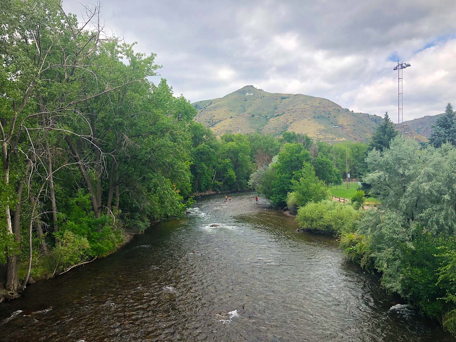
Clear Creek – Town Section (USGS 06719505, Small Freestone)
This section runs normally from about 50 CFS at its low to around 600 CFS at its high. At 200 CFS, you are sitting in the upper third of the normal range. The creek is running fast and full. Wading is possible but demanding – you will want to stay in slower seams and off the main current. If you were hoping to wade freely across the channel to reach the far bank, at 200 CFS you may not be doing that comfortably. This is a section where dries and nymphs work well, but high flows push trout tight to slower water and compress the fishable zone. The water is accessible from easy roadside pull-offs, which helps – you can adjust your position more readily than you could in a canyon setting.
Colorado River – Pumphouse to State Bridge (USGS 09070500, Large Freestone)
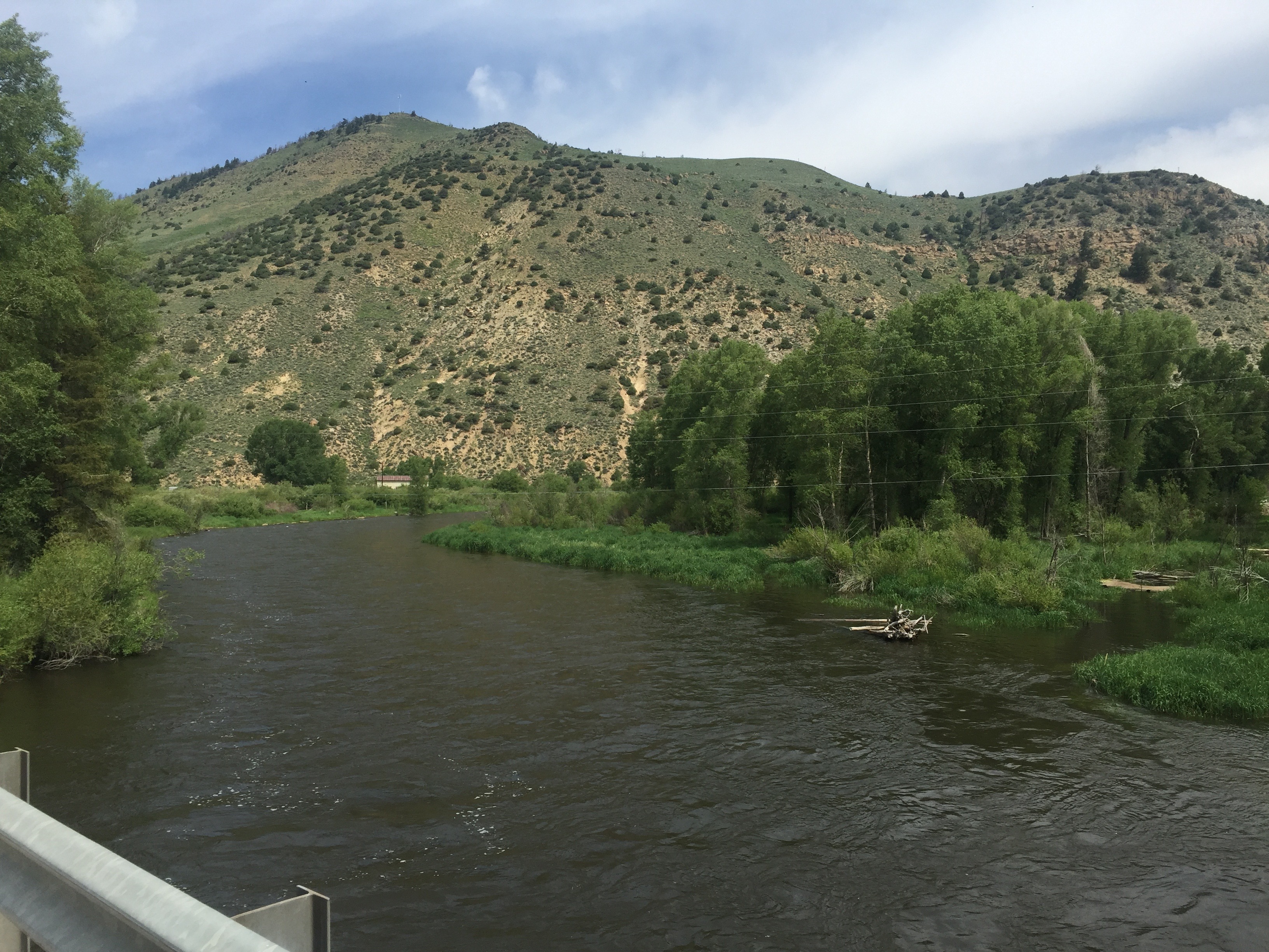
This section's normal low is around 1,500 CFS and its high is around 6,500 CFS. At 200 CFS, you are not just below the low end – you are at extreme low water. The river would be running far below any reasonable fishing condition. This is well outside the section's documented operating window. On a large freestone like this, extremely low flows concentrate fish but also make them far more spooky, and the channel that was built to carry thousands of CFS is now a series of thin braids and exposed gravel. Most of the float corridor options would be impractical. If a gauge read 200 CFS on this section, you would want to check whether it was a data anomaly or look seriously at whether conditions were even fishable.
South Platte River – Cheeseman Canyon (DWR PLACHECO, Medium Tailwater)
This section's low is around 125 CFS and its high around 500 CFS. At 200 CFS, you are comfortably inside the fishable window, sitting in the lower-middle of the normal range. Conditions should be good. The fish here are spooky and require drag-free drifts through complex currents created by large boulders, and it is primarily a nymph fishery. But 200 CFS itself is not the limiting factor – the challenge is always the steep canyon access and the technical presentation, not the volume of water. You still need to hike in and navigate the boulder terrain to reach the productive water.
Same number. Three different situations. The gauge code and the section context change everything.
A Repeatable Pre Trip Flow Check
You do not need a complicated system. You need a consistent one. Here is a simple framework to run before any Colorado trip.
1. Identify the right gauge for the specific section. Do not look up just the river name. Find the USGS or Colorado DWR gauge that covers the section you are actually fishing. River systems have multiple gauges because the character of the water changes significantly from one section to the next.
2. Look up the current discharge reading. Pull the live number from USGS or Colorado DWR. Note whether the trend line is rising, falling, or stable.
3. Compare the reading to the section's known low and high flow range. Where are you in that window? Low third, middle, high third, or outside the range entirely? Outside on the low end often means great wading but potentially low, pressured fish. Outside on the high end often means limited access, faster water, and harder presentations.
4. Apply river type and accessibility. Is this a freestone responding to seasonal hydrology, or a tailwater that shifts with releases? Is the access easy enough that you can adapt on the fly, or are you committing to a hike before you know what you are stepping into?
5. Decide on access point, wading versus floating, and presentation approach before you leave. The Colorado River Pumphouse section is a float corridor with some wade access depending on flow. Clear Creek Town Section is a wade fishery with roadside access. Cheeseman Canyon requires a hike. Let the flow number, the river type, and the access reality shape your plan before the trip, not when you are standing at the bank wondering what happened.
If you want all of that section-level context in one place – river size, river type, access rating, the USGS and DWR gauges, and the planning guidance for each section – River Explorer Pro covers over 150 Colorado rivers and sections with exactly that kind of structured information. It exists specifically to turn a river name into a useful trip decision, which is the whole problem this article is trying to solve.
If you want to go deeper on the skills side – reading water, understanding trout behavior, and building a complete decision framework for the water – Trout University is the structured learning path that covers all of it from the ground up.
Recommended Reading
Understanding streamflow is just one piece of the decision you make before you fish. Once you know the water is in the right condition, you still need to decide where in the river to put yourself and your fly.
Which Part of the River Should You Fish? takes the next step and explains how to read the actual structure of a river – where fish hold, where they feed, and how to move through a section productively rather than just working the obvious water.
And if you are still deciding which river to target in the first place, flows are only part of the answer. River reputation, access, and crowd pressure matter just as much.
A Famous River Is Not Always the Right River makes the case for matching the river to what you actually need from a trip, not just defaulting to a well-known name.